
Salih Zakas topographic map
Interactive map
Click on the map to display elevation.
About this map
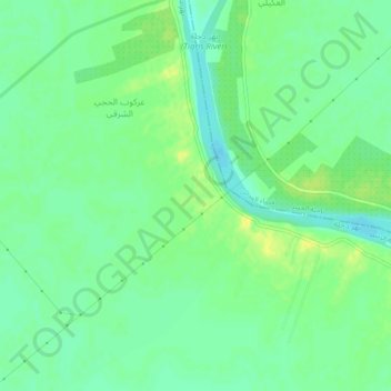
Name: Salih Zakas topographic map, elevation, terrain.
Location: Salih Zakas, Mahmoudiya, Baghdad, Iraq (33.14926 44.46173 33.18926 44.50173)
Average elevation: 34 m
Minimum elevation: 25 m
Maximum elevation: 45 m