
Campsey topographic map
Interactive map
Click on the map to display elevation.
About this map
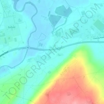
Name: Campsey topographic map, elevation, terrain.
Average elevation: 26 m
Minimum elevation: -3 m
Maximum elevation: 105 m
Other topographic maps
Click on a map to view its topography, its elevation and its terrain.
Lough Foyle
United Kingdom > Northern Ireland > County Londonderry > Londonderry/Derry
Lough Foyle, Londonderry/Derry, County Londonderry, Northern Ireland, United Kingdom
Average elevation: 61 m