
Sankt Paul im Lavanttal topographic map
Interactive map
Click on the map to display elevation.
About this map
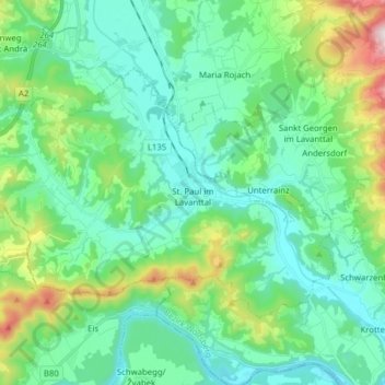
Name: Sankt Paul im Lavanttal topographic map, elevation, terrain.
Location: Sankt Paul im Lavanttal, Wolfsberg, Carinthia, 9470, Austria (46.66700 14.77058 46.73691 14.92709)
Average elevation: 502 m
Minimum elevation: 340 m
Maximum elevation: 1,072 m