
Larteh topographic map
Interactive map
Click on the map to display elevation.
About this map
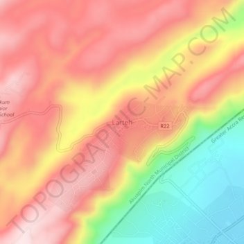
Name: Larteh topographic map, elevation, terrain.
Location: Larteh, Eastern Region, Ghana (5.91946 -0.08886 5.95946 -0.04886)
Average elevation: 275 m
Minimum elevation: 46 m
Maximum elevation: 428 m