
Lyssons topographic map
Interactive map
Click on the map to display elevation.
About this map
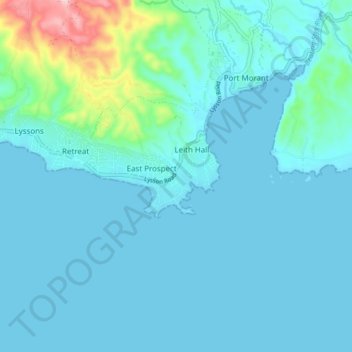
Name: Lyssons topographic map, elevation, terrain.
Location: Lyssons, Saint Thomas, Surrey County, Jamaica (17.82859 -76.38314 17.90859 -76.30314)
Average elevation: 31 m
Minimum elevation: 0 m
Maximum elevation: 263 m