
Lydstep topographic map
Interactive map
Click on the map to display elevation.
About this map
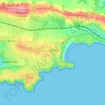
Name: Lydstep topographic map, elevation, terrain.
Location: Lydstep, Pembrokeshire, Wales, SA70 7SG, United Kingdom (51.63002 -4.78921 51.67002 -4.74921)
Average elevation: 33 m
Minimum elevation: 0 m
Maximum elevation: 107 m