
Datar topographic map
Interactive map
Click on the map to display elevation.
About this map
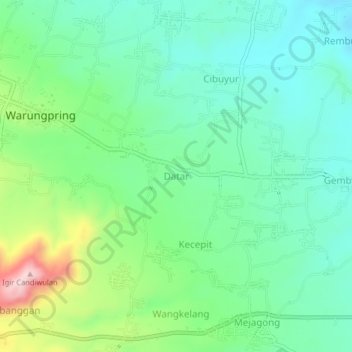
Name: Datar topographic map, elevation, terrain.
Location: Datar, Central Java, Indonesia (-7.10447 109.26379 -7.06447 109.30379)
Average elevation: 298 m
Minimum elevation: 211 m
Maximum elevation: 519 m