
River Doe Lea topographic map
Interactive map
Click on the map to display elevation.
About this map
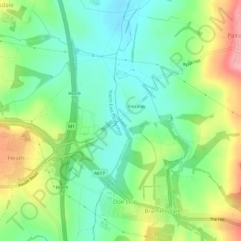
Name: River Doe Lea topographic map, elevation, terrain.
Average elevation: 111 m
Minimum elevation: 69 m
Maximum elevation: 182 m
Other topographic maps
Click on a map to view its topography, its elevation and its terrain.
Elmton-with-Creswell
United Kingdom > England > Bolsover
Elmton-with-Creswell, Bolsover, Derbyshire, East Midlands, England, United Kingdom
Average elevation: 112 m
Old Bolsover
United Kingdom > England > Bolsover
Old Bolsover, Bolsover, Derbyshire, East Midlands, England, United Kingdom
Average elevation: 114 m