
Masonville topographic map
Interactive map
Click on the map to display elevation.
About this map
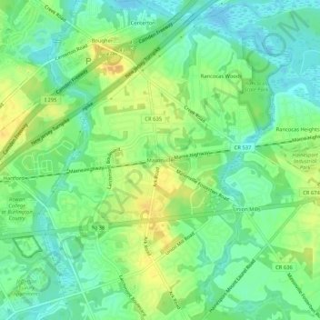
Name: Masonville topographic map, elevation, terrain.
Location: Masonville, Burlington County, New Jersey, 08036:08054, USA (39.95845 -74.89017 39.99845 -74.85017)
Average elevation: 12 m
Minimum elevation: -2 m
Maximum elevation: 26 m