
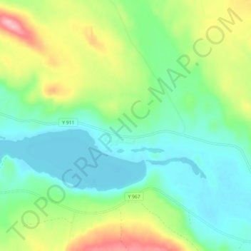
Grundtjärn topographic map
Interactive map
Click on the map to display elevation.
About this map
Name: Grundtjärn topographic map, elevation, terrain.
Average elevation: 278 m
Minimum elevation: 236 m
Maximum elevation: 369 m
Other topographic maps
Click on a map to view its topography, its elevation and its terrain.
Stavro
Sweden > Västernorrland County > Anundsjö District
Stavro, Anundsjö District, Örnsköldsviks kommun, Västernorrland County, Sweden
Average elevation: 408 m