
Majuro topographic map
Interactive map
Click on the map to display elevation.
About this map
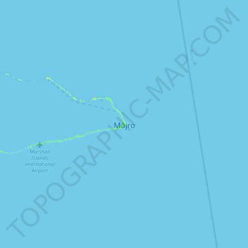
Name: Majuro topographic map, elevation, terrain.
Location: Majuro, 96060, Marshall Islands (6.93099 171.22164 7.25099 171.54164)
Average elevation: 0 m
Minimum elevation: 0 m
Maximum elevation: 16 m
Other topographic maps
Click on a map to view its topography, its elevation and its terrain.