
Kingsley topographic map
Interactive map
Click on the map to display elevation.
About this map
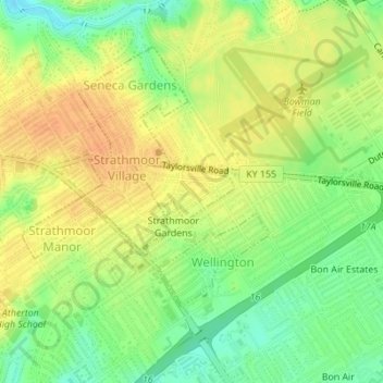
Name: Kingsley topographic map, elevation, terrain.
Location: Kingsley, Jefferson County, Kentucky, United States (38.21937 -85.67725 38.22342 -85.66805)
Average elevation: 160 m
Minimum elevation: 139 m
Maximum elevation: 176 m