
Scruton topographic map
Interactive map
Click on the map to display elevation.
About this map
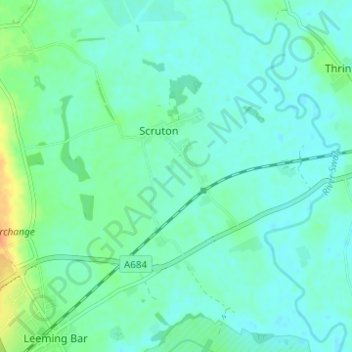
Name: Scruton topographic map, elevation, terrain.
Location: Scruton, Hambleton, North Yorkshire, England, United Kingdom (54.30302 -1.56551 54.33905 -1.51109)
Average elevation: 32 m
Minimum elevation: 24 m
Maximum elevation: 60 m