
Eje Neovolcánico topographic map
Interactive map
Click on the map to display elevation.
About this map
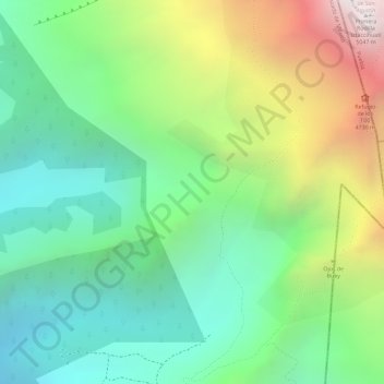
Name: Eje Neovolcánico topographic map, elevation, terrain.
Location: Eje Neovolcánico, Amecameca, State of Mexico, Mexico (19.14995 -98.65005 19.15005 -98.64995)
Average elevation: 4,179 m
Minimum elevation: 3,679 m
Maximum elevation: 5,038 m
Volcanic ash make soils in the region very fertile, which (especially coupled with elevation making tropical climate milder) has led to high human population densities in the belt that now sometimes strain the environment.