
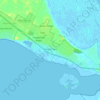
Delta del Tigre topographic map
Interactive map
Click on the map to display elevation.
About this map
Name: Delta del Tigre topographic map, elevation, terrain.
Average elevation: 3 m
Minimum elevation: -4 m
Maximum elevation: 27 m
Other topographic maps
Click on a map to view its topography, its elevation and its terrain.
Ciudad del Plata
Uruguay > San José > Ciudad del Plata
Ciudad del Plata, San José, 80500, Uruguay
Average elevation: 4 m