
Gower topographic map
Interactive map
Click on the map to display elevation.
About this map
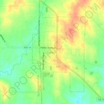
Name: Gower topographic map, elevation, terrain.
Location: Gower, Clinton County, Missouri, United States (39.60173 -94.60447 39.62241 -94.58665)
Average elevation: 286 m
Minimum elevation: 263 m
Maximum elevation: 307 m
Other topographic maps
Click on a map to view its topography, its elevation and its terrain.
Turney
United States > Missouri > Clinton County
Turney, Clinton County, Missouri, United States
Average elevation: 313 m