
Sharqat topographic map
Interactive map
Click on the map to display elevation.
About this map
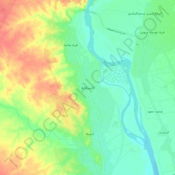
Name: Sharqat topographic map, elevation, terrain.
Location: Sharqat, Saladin, Iraq (35.47831 43.19383 35.55831 43.27383)
Average elevation: 163 m
Minimum elevation: 140 m
Maximum elevation: 200 m