
Сойотское сельское поселение topographic map
Interactive map
Click on the map to display elevation.
About this map
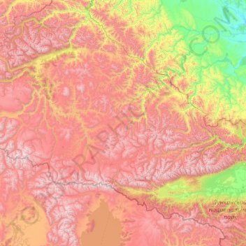
Name: Сойотское сельское поселение topographic map, elevation, terrain.
Average elevation: 1,722 m
Minimum elevation: 458 m
Maximum elevation: 3,283 m