
Sandway topographic map
Interactive map
Click on the map to display elevation.
About this map
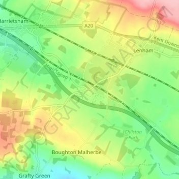
Name: Sandway topographic map, elevation, terrain.
Average elevation: 113 m
Minimum elevation: 55 m
Maximum elevation: 192 m
Other topographic maps
Click on a map to view its topography, its elevation and its terrain.
Leadingcross Green
United Kingdom > England > Kent > Maidstone > Lenham
Leadingcross Green, Lenham, Maidstone, Kent, England, ME17 2HS, United Kingdom
Average elevation: 118 m