
Seoul topographic map
Interactive map
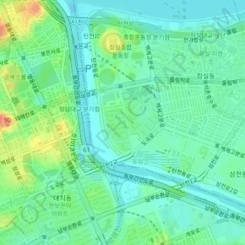
Click on the map to display elevation.
About this map
Name: Seoul topographic map, elevation, terrain.
Location: Jamsil 7(chil)-dong, Songpa-gu, Seoul, 05571, South Korea (37.50235 127.06861 37.51180 127.07966)
Average elevation: 22 m
Minimum elevation: 4 m
Maximum elevation: 67 m