
Warehorne topographic map
Interactive map
Click on the map to display elevation.
About this map
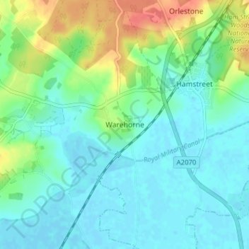
Name: Warehorne topographic map, elevation, terrain.
Location: Warehorne, Kent, South East, England, TN26 2LL, United Kingdom (51.03837 0.81755 51.07837 0.85755)
Average elevation: 15 m
Minimum elevation: -2 m
Maximum elevation: 57 m