
Nokere topographic map
Interactive map
Click on the map to display elevation.
About this map
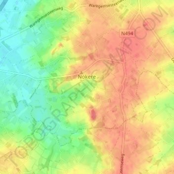
Name: Nokere topographic map, elevation, terrain.
Location: Nokere, Kruisem, Oudenaarde, East Flanders, 9771, Belgium (50.86982 3.47053 50.89617 3.53238)
Average elevation: 44 m
Minimum elevation: 13 m
Maximum elevation: 70 m