
Unst topographic map
Interactive map
Click on the map to display elevation.
About this map
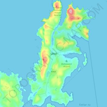
Name: Unst topographic map, elevation, terrain.
Location: Unst, Saxa Vord, Shetland, Scotland, United Kingdom (60.67328 -0.98440 60.84575 -0.75885)
Average elevation: 23 m
Minimum elevation: -4 m
Maximum elevation: 287 m
Shetland trails, hiking, mountain biking, running and outdoor activities
Other topographic maps
Click on a map to view its topography, its elevation and its terrain.