
Vosges topographic map
Interactive map
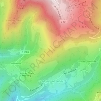
Click on the map to display elevation.
About this map
Name: Vosges topographic map, elevation, terrain.
Average elevation: 864 m
Minimum elevation: 537 m
Maximum elevation: 1,259 m
In addition, the term "Central Vosges" is used to designate the various lines of summits, especially those above 1,000 m (3,300 ft) in elevation. The French department of Vosges is named after the range.