
Newry topographic map
Interactive map
Click on the map to display elevation.
About this map
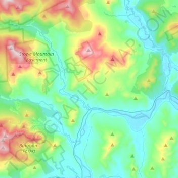
Name: Newry topographic map, elevation, terrain.
Location: Newry, Oxford County, Maine, 04261, USA (44.43714 -70.90352 44.59465 -70.73847)
Average elevation: 393 m
Minimum elevation: 183 m
Maximum elevation: 1,018 m