
Province of Cotabambas topographic map
Interactive map
Click on the map to display elevation.
About this map
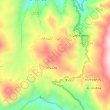
Name: Province of Cotabambas topographic map, elevation, terrain.
Average elevation: 3,863 m
Minimum elevation: 3,574 m
Maximum elevation: 4,139 m