
Bandar Seri Jempol (Bandar Baru Serting) topographic map
Interactive map
Click on the map to display elevation.
About this map
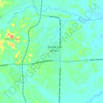
Name: Bandar Seri Jempol (Bandar Baru Serting) topographic map, elevation, terrain.
Average elevation: 70 m
Minimum elevation: 44 m
Maximum elevation: 189 m