
Herent topographic map
Interactive map
Click on the map to display elevation.
About this map
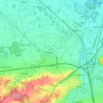
Name: Herent topographic map, elevation, terrain.
Location: Herent, Flemish Brabant, Flanders, 3020, Belgium (50.87846 4.59850 50.94651 4.70249)
Average elevation: 29 m
Minimum elevation: 4 m
Maximum elevation: 97 m