
Turbenthal topographic map
Interactive map
Click on the map to display elevation.
About this map
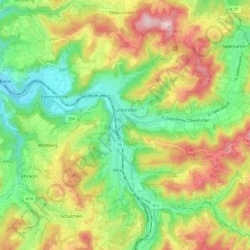
Name: Turbenthal topographic map, elevation, terrain.
Location: Turbenthal, Bezirk Winterthur, Zurich, Switzerland (47.40144 8.83006 47.46370 8.93309)
Average elevation: 667 m
Minimum elevation: 514 m
Maximum elevation: 878 m