
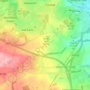
Burdon topographic map
Interactive map
Click on the map to display elevation.
About this map
Name: Burdon topographic map, elevation, terrain.
Location: Burdon, North East England, England, SR3 2PS, United Kingdom (54.83609 -1.41595 54.87609 -1.37595)
Average elevation: 97 m
Minimum elevation: 29 m
Maximum elevation: 174 m