
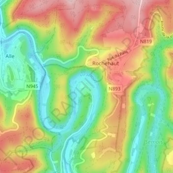
Frahan topographic map
Interactive map
Click on the map to display elevation.
About this map
Name: Frahan topographic map, elevation, terrain.
Average elevation: 291 m
Minimum elevation: 184 m
Maximum elevation: 431 m
Other topographic maps
Click on a map to view its topography, its elevation and its terrain.
Laviot
Belgium > Luxembourg > Neufchâteau > Bouillon > Rochehaut
Laviot, Rochehaut, Bouillon, Neufchâteau, Luxembourg, Wallonia, 6838, Belgium
Average elevation: 297 m