
Cleveland topographic map
Interactive map
Click on the map to display elevation.
About this map
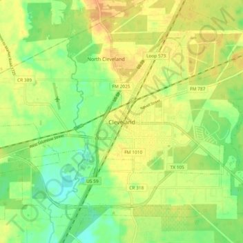
Name: Cleveland topographic map, elevation, terrain.
Location: Cleveland, Liberty County, Texas, 77327, United States (30.30148 -95.13001 30.38148 -95.05001)
Average elevation: 46 m
Minimum elevation: 28 m
Maximum elevation: 60 m