
Sharurah topographic map
Interactive map
Click on the map to display elevation.
About this map
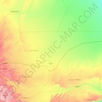
Name: Sharurah topographic map, elevation, terrain.
Location: Sharurah, Najran Region, Saudi Arabia (16.95000 45.54139 19.33330 52.00175)
Average elevation: 810 m
Minimum elevation: 212 m
Maximum elevation: 3,546 m
Other topographic maps
Click on a map to view its topography, its elevation and its terrain.