
Kwatha Meitei topographic map
Interactive map
Click on the map to display elevation.
About this map
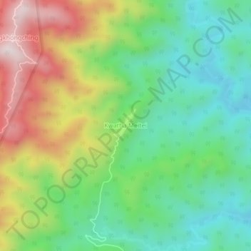
Name: Kwatha Meitei topographic map, elevation, terrain.
Average elevation: 476 m
Minimum elevation: 224 m
Maximum elevation: 905 m
Other topographic maps
Click on a map to view its topography, its elevation and its terrain.
Moreh
India > Manipur > Tengnoupal tehsil
Moreh, Tengnoupal tehsil, Tengnoupal District, Manipur, 795131, India
Average elevation: 270 m