
Dabel topographic map
Interactive map
Click on the map to display elevation.
About this map
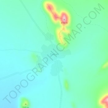
Name: Dabel topographic map, elevation, terrain.
Location: Dabel, Golobo ward, Moyale, Marsabit County, Eastern, Kenya (3.13165 39.23105 3.17165 39.27105)
Average elevation: 654 m
Minimum elevation: 615 m
Maximum elevation: 817 m