Geolocate

Kada topographic map

Interactive map

Click on the map to display elevation.

About this map

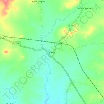
Name: Kada topographic map, elevation, terrain.

Location: Kada, Ashti, Beed District, Maharashtra, 414202, India (18.85633 75.03858 18.93633 75.11858)

Average elevation: 596 m

Minimum elevation: 569 m

Maximum elevation: 663 m

Other topographic maps

Click on a map to view its topography, its elevation and its terrain.

Matkuli

India > Maharashtra > Ashti

Matkuli, Ashti, Beed, Maharashtra, India

Average elevation: 635 m

Pundi

India > Maharashtra > Ashti

Pundi, Ashti, Beed, Maharashtra, India

Average elevation: 620 m