
Nottanmala topographic map
Interactive map
Click on the map to display elevation.
About this map
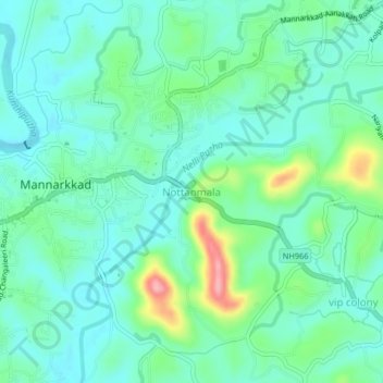
Name: Nottanmala topographic map, elevation, terrain.
Location: Nottanmala, Mannarkad, Palakkad, Kerala, 678582, India (10.97207 76.45132 11.01207 76.49132)
Average elevation: 85 m
Minimum elevation: 54 m
Maximum elevation: 183 m
Other topographic maps
Click on a map to view its topography, its elevation and its terrain.
Mannarkkad
Mannarkkad, Mannarkad, Palakkad District, Kerala, 678582, India
Average elevation: 80 m