
Markowice topographic map
Interactive map
Click on the map to display elevation.
About this map
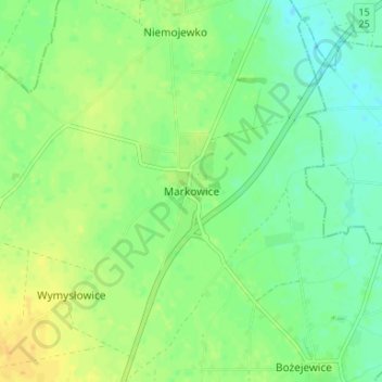
Name: Markowice topographic map, elevation, terrain.
Average elevation: 91 m
Minimum elevation: 80 m
Maximum elevation: 104 m
Other topographic maps
Click on a map to view its topography, its elevation and its terrain.
Strzelno
Poland > Kuyavian-Pomeranian Voivodeship > Mogilno County
Strzelno, gmina Strzelno, Mogilno County, Kuyavian-Pomeranian Voivodeship, 88-320, Poland
Average elevation: 104 m