
An Phuoc topographic map
Interactive map
Click on the map to display elevation.
About this map
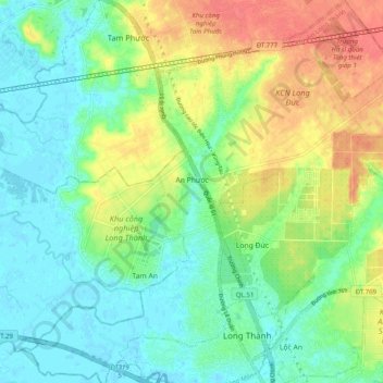
Name: An Phuoc topographic map, elevation, terrain.
Location: An Phuoc, Long Thành District, Đồng Nai Province, Vietnam (10.77454 106.89350 10.87145 106.98944)
Average elevation: 22 m
Minimum elevation: -2 m
Maximum elevation: 59 m
Other topographic maps
Click on a map to view its topography, its elevation and its terrain.