
Coll de Jou topographic map
Interactive map
Click on the map to display elevation.
About this map
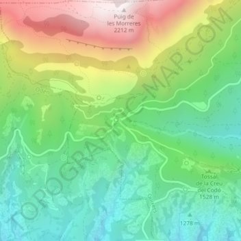
Name: Coll de Jou topographic map, elevation, terrain.
Location: Coll de Jou, Guixers, Solsonès, Lerida, Catalonië, Spanje (42.13856 1.53935 42.13866 1.53945)
Average elevation: 1,505 m
Minimum elevation: 1,102 m
Maximum elevation: 2,205 m