
Thank you for supporting this site ❤️
Make a donation
Make a donation
Gear up for your next adventure:
As an Amazon Associate, this site earns from qualifying purchases at no extra cost to you.
Tembagapura topographic map
Click on the map to display elevation.
Thank you for supporting this site ❤️
Make a donation
Make a donation
Gear up for your next adventure:
As an Amazon Associate, this site earns from qualifying purchases at no extra cost to you.
About this map
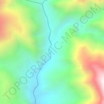
Name: Tembagapura topographic map, elevation, terrain.
Location: Tembagapura, Timika, Mimika, Papua, Indonesia (-4.26027 136.89919 -4.24027 136.91919)
Average elevation: 648 m
Minimum elevation: 332 m
Maximum elevation: 1,193 m
Thank you for supporting this site ❤️
Make a donation
Make a donation
Gear up for your next adventure:
As an Amazon Associate, this site earns from qualifying purchases at no extra cost to you.