
Eistobel topographic map
Interactive map
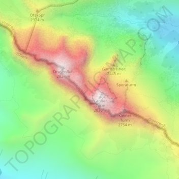
Click on the map to display elevation.
About this map
Name: Eistobel topographic map, elevation, terrain.
Average elevation: 2,195 m
Minimum elevation: 1,761 m
Maximum elevation: 2,810 m
Other topographic maps
Click on a map to view its topography, its elevation and its terrain.
Golm
Österreich > Vorarlberg > Bezirk Bludenz > Gemeinde Tschagguns
Golm, Gemeinde Tschagguns, Bezirk Bludenz, Vorarlberg, Österreich
Average elevation: 1,914 m