
Río Rojo topographic map
Interactive map
Click on the map to display elevation.
About this map
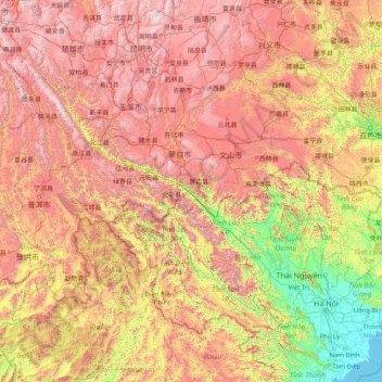
Name: Río Rojo topographic map, elevation, terrain.
Average elevation: 1,100 m
Minimum elevation: -1 m
Maximum elevation: 3,220 m
Other topographic maps
Click on a map to view its topography, its elevation and its terrain.
宁洱哈尼族彝族自治县
China > Yunnan > 普洱市 (Pu'er)
宁洱哈尼族彝族自治县, 普洱市 (Pu'er), Yunnan, 665000, China
Average elevation: 1,352 m