
Yagoua topographic map
Interactive map
Click on the map to display elevation.
About this map
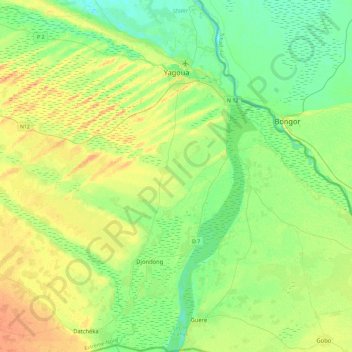
Name: Yagoua topographic map, elevation, terrain.
Location: Yagoua, Mayo-Danay, Far-North, Cameroon (9.98536 15.06182 10.43715 15.43204)
Average elevation: 330 m
Minimum elevation: 316 m
Maximum elevation: 351 m