
Pizol topographic map
Interactive map
Click on the map to display elevation.
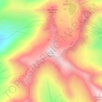
Pizol
Der Pizolgipfel ist ein klassisches Skitouren-Ziel. Die Skitour führt von der Pizolhütte über die Wildseeluggen zum Wildsee und von dort nach Süden über den Gletscher zur Ostschulter, wo sich das Skidepot befindet. Der Aufstieg über den Südostgrat ist teilweise versichert. Insgesamt sind 700 Höhenmeter zu überwinden. Die Schwierigkeit auf der SAC-Skitourenskala wird mit WS (wenig schwierig) angegeben.
About this map
Name: Pizol topographic map, elevation, terrain.
Location: Pizol, Mels, Wahlkreis Sarganserland, Sankt Gallen, Schweiz (46.95910 9.38667 46.95920 9.38677)
Average elevation: 2,439 m
Minimum elevation: 1,871 m
Maximum elevation: 2,803 m