
Camp Verde topographic map
Interactive map
Click on the map to display elevation.
About this map
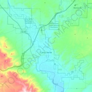
Name: Camp Verde topographic map, elevation, terrain.
Location: Camp Verde, Yavapai County, Arizona, 86322, United States (34.49771 -111.96510 34.65280 -111.76069)
Average elevation: 1,095 m
Minimum elevation: 910 m
Maximum elevation: 1,831 m