
Sils im Domleschg topographic map
Interactive map
Click on the map to display elevation.
About this map
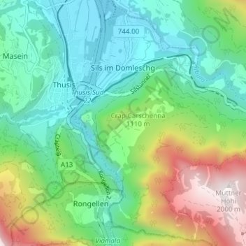
Name: Sils im Domleschg topographic map, elevation, terrain.
Location: Sils im Domleschg, Viamala, Graubünden, 7411, Schweiz (46.66951 9.44210 46.71180 9.50193)
Average elevation: 1,050 m
Minimum elevation: 655 m
Maximum elevation: 2,023 m