
Bokki topographic map
Interactive map
Click on the map to display elevation.
About this map
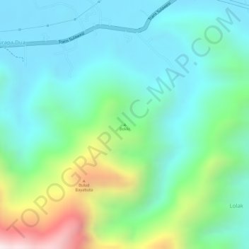
Name: Bokki topographic map, elevation, terrain.
Location: Bokki, Sulut, Indonésia (0.82412 123.97884 0.82422 123.97894)
Average elevation: 202 m
Minimum elevation: 4 m
Maximum elevation: 719 m