
Thank you for supporting this site ❤️
Make a donation
Make a donation
Gear up for your next adventure:
As an Amazon Associate, this site earns from qualifying purchases at no extra cost to you.
Zoatoupsi topographic map
Click on the map to display elevation.
Thank you for supporting this site ❤️
Make a donation
Make a donation
Gear up for your next adventure:
As an Amazon Associate, this site earns from qualifying purchases at no extra cost to you.
About this map
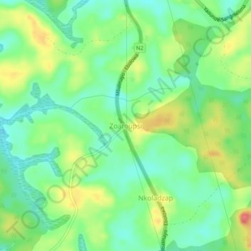
Name: Zoatoupsi topographic map, elevation, terrain.
Location: Zoatoupsi, Mbalmayo, Nyong-et-So'o, Région du Centre, Cameroun (3.41942 11.49366 3.45942 11.53366)
Average elevation: 671 m
Minimum elevation: 643 m
Maximum elevation: 716 m
Thank you for supporting this site ❤️
Make a donation
Make a donation
Gear up for your next adventure:
As an Amazon Associate, this site earns from qualifying purchases at no extra cost to you.