
La Cumbre topographic map
Interactive map
Click on the map to display elevation.
About this map
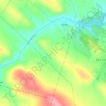
Name: La Cumbre topographic map, elevation, terrain.
Location: La Cumbre, Gallegos del Río, Zamora, Castilla y León, España (41.71225 -6.23298 41.73225 -6.21298)
Average elevation: 777 m
Minimum elevation: 726 m
Maximum elevation: 849 m